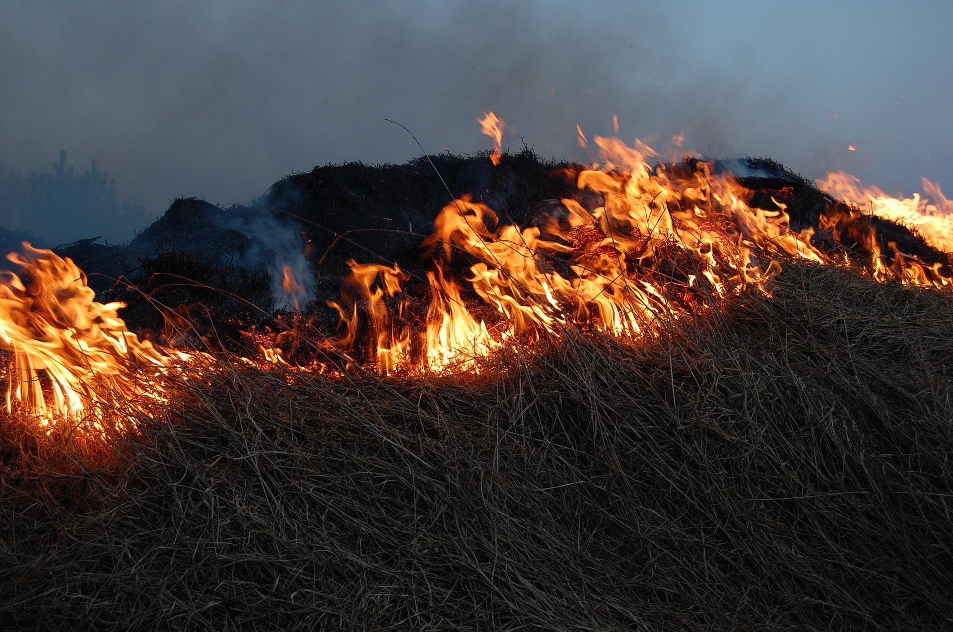
JAKARTA, 6 August 2026 — Indonesia is heading into what is expected to be one of its driest and longest dry seasons in decades, driven by a strong El Niño event[1][2]. Yet despite these early warnings, prevention and preparedness measures have not kept pace with the growing risk of forest and land fires.
A spatial analysis of Indicative Burned Areas (Area Indikatif Terbakar, or AIT) by the MADANI Berkelanjutan Foundation found that 219,513 hectares of land were indicated as burned between January and July 2026, excluding areas burnt more than once. That is more than three times the land area of Jakarta.
The findings were presented during the media dialogue “Towards an Indonesia Submerged in Smoke: The Threat of Forest and Land Fires amid the Strong El Niño of 2026,” which highlighted the escalating fire risk and the need to shift from reactive firefighting to prevention.
The increase was particularly sharp in July. AIT rose from 15,474 hectares in June to 124,040 hectares in July, accounting for more than half of the total area recorded during the first seven months of the year. The surge is a clear warning that the fire season is intensifying, even as eastern Indonesia is only beginning to enter its dry season.
“The July surge is a clear warning that we cannot afford to wait until fires are widespread before taking action. The climate information is already available. The real challenge is turning that information into preventive action in areas facing the highest risk,” said Giorgio B. Indrarto, Deputy Director of MADANI Berkelanjutan.
Fires Are Reaching Critical Ecosystems and Protected Areas
Of the 219,513 hectares of AIT recorded between January and July, approximately 129,900 hectares, or 59.21 percent, were within forest areas. In July alone, AIT within forests increased substantially, including 55,600 hectares in production forests, 14,300 hectares in conservation forests, and 7,700 hectares in protection forests.
Approximately 22,200 hectares of AIT were also located within Key Biodiversity Areas (KBAs).
Peatlands were also heavily affected, with 81,800 hectares, or 37.29 percent, of AIT recorded in peatland ecosystems. Almost all of these areas were classified as degraded peatlands, ranging from light to severe degradation.
The analysis also found that approximately 76,800 hectares, or 35 percent, of AIT overlapped with forest moratorium areas under the Indicative Map for the Termination of New Licensing (Peta Indikatif Penghentian Pemberian Izin Baru, or PIPPIB). A further 71,500 hectares, or 32.6 percent, fell within areas covered by the FOLU Net Sink 2030 Operational Plan.
“When fires reach peatlands, forest moratorium areas and landscapes designated under the FOLU Net Sink Operational Plan, this is no longer simply a firefighting issue. Preventing fires is essential to protecting Indonesia’s climate commitments,” said Yosi Amelia, Lead of MADANI Berkelanjutan’s Climate and Ecosystems Programme.
Fires in Permitted Areas and the Irony of Harmful Subsidies
MADANI’s analysis found that approximately 90,000 hectares, or 41 percent, of AIT overlapped with licensed areas and concessions. The largest overlap was with oil palm permits, covering 35,000 hectares, followed by oil and gas permits covering 19,000 hectares, and PBPH areas covering 16,300 hectares.
While this overlap does not, by itself, establish that companies caused the fires, it underscores the need for stronger oversight, transparency and accountability among permit and concession holders.
At the same time, the Government is pursuing an increase in the biodiesel blending mandate from 40 percent to 50 percent (B50), a policy with significant implications for public spending and fiscal incentives.
According to the 2025 Annual Report of the Oil Palm Plantation Fund Management Agency (BPDP)[3], Rp50.3 trillion was allocated in 2025 for biodiesel and downstream plantation incentives, of which 93.7 percent, or Rp47.1 trillion, was realised.
Betahita has also reported that biodiesel producers received a total of Rp208.4 trillion in subsidies between 2015 and 2024, channelled through 15 identified business groups.[4]
“This raises serious questions about harmful subsidies. Large-scale fiscal incentives continue to support sectors and industries that carry significant environmental risks. These public funds could instead help strengthen forest and land fire prevention, response and environmental law enforcement. Yet the ecological and social costs of these fires continue to be borne by the public,” Yosi said.
Ignored Warnings: South Papua Emerged as a New Fire Hotspot
While West Kalimantan recorded the largest AIT nationally, at 50,558 hectares, South Papua has emerged as a new fire hotspot. The province recorded 41,790 hectares, ranking second nationally and surpassing Riau and Central Kalimantan.
The scale and timing of the fires in South Papua are particularly concerning. 89.5 percent, or 37,418 hectares, of the province’s AIT was recorded in July alone.
Merauke Regency recorded the largest AIT nationally, at 33,609 hectares, followed by Mappi Regency, with 8,510 hectares.
“South Papua has a very different seasonal pattern from Sumatra and Kalimantan. Its dry season begins around June or July and can continue through December. July is therefore only the beginning of the dry season, not its peak. Applying the same fire preparedness calendar used in western Indonesia to Papua could have serious consequences,” Giorgio said.
An early warning had already been issued by BMKG Jayapura on 18 June 2026 for Merauke and Mappi.
The risk is further heightened by the 2.32-million-hectare National Strategic Project (PSN) for food and energy development in Merauke, where 40,000 hectares of natural forest had reportedly been cleared by early July 2026.
Of the 1,292 fire hotspots recorded in South Papua between 1 and 9 July, 399 were located within PSN concessions: 245 in food-related concessions, 115 in PBPH concessions, and 39 in oil palm concessions.
“If a 2.32-million-hectare land-clearing project is being developed in a landscape prone to fire, the assumptions underpinning that development need to be seriously reconsidered. At this point, the burden of proof should be reversed: PSN permit holders should be required to demonstrate that they are using no-burn methods,” Giorgio said.
South Papua Needs a Different Fire Preparedness Strategy
Forest and land fire management in South Papua’s savanna landscapes cannot simply replicate the approaches used in peatland areas in western Indonesia. Measures such as canal blocking, for example, are not relevant to savanna ecosystems.
At the same time, small-scale customary burning practices used by local communities, including for animal feed in Wasur National Park, must be clearly distinguished from large-scale land clearing. Fire management must not result in the criminalisation of Indigenous communities for traditional practices.
Riza Egi Arizona, Lead of MADANI Berkelanjutan’s Community-Based Energy Transition Programme, highlighted a significant gap in operational preparedness. While South Kalimantan had deployed 180 Manggala Agni personnel, and West Kalimantan and South Sumatra had already declared emergency preparedness status, South Papua had not yet done so.
“If preparedness measures do not reflect South Papua’s seasonal pattern, the risk of fires escalating will only increase. The dry season there may continue well after emergency preparedness measures in parts of Sumatra and Kalimantan have been scaled back. Preparedness needs to follow local climate patterns and risk levels, not a one-size-fits-all national calendar,” he said.
Giorgio stressed that the broader challenge is whether Indonesia’s fire prevention system can respond to rapidly changing risks across different landscapes.
“South Papua’s dry season has only just begun, and the peak is still ahead. The question is whether anyone will still be watching in November, when national attention has shifted elsewhere. The data has already given us a warning. Now we need to act on it,” he said.
MADANI’s Five Calls for Action
Based on its analysis, the MADANI Berkelanjutan Foundation is calling for five immediate measures:
1. Establish a dedicated forest and land fire preparedness calendar for South Papua
Emergency preparedness should extend through December, reflecting South Papua’s eastern monsoon climate and longer dry season.
2. Conduct a transparency audit of firefighting personnel
The Government should disclose the number and operational capacity of Manggala Agni personnel stationed in South Papua.
3. Require zero-burning practices in the Merauke PSN
Strict no-burning requirements should be imposed, with permit holders required to account for every fire hotspot detected within their respective areas.
4. Protect customary burning practices
Fire management policies must clearly distinguish legitimate customary practices and traditional ecological knowledge from large-scale land clearing, ensuring Indigenous communities are not unfairly criminalised.
5. Reassess the FOLU Net Sink 2030 Operational Plan
The Government should evaluate the effectiveness and assumptions of the plan in light of the fact that 32.6 percent of national AIT, or 71,565 hectares, was recorded within areas covered by the operational plan.
MADANI Berkelanjutan urges the Government to treat the latest AIT data as an early warning and immediately strengthen forest and land fire prevention throughout the ongoing dry season.
Indonesia’s approach to forest and land fires must move beyond reactive firefighting. Prevention needs to be grounded in timely data, local landscape characteristics and the distinct seasonal patterns of each region. The warning signs are already visible. The priority now must be to act before the fires become a national crisis.
References
[1] Kompas.com, “Siap-siap, BMKG Prediksi Kemarau Terpanjang dalam 30 Tahun Terakhir,” April 14, 2026, https://nasional.kompas.com/read/2026/04/14/12422681/siap-siap-bmkg-prediksi-kemarau-terpanjang-dalam-30-tahun-terakhir.nasional.kompas
[2] CNN Indonesia, “Musim Kemarau 2026 Bakal Lebih Kering, Daerah Ini Paling Terdampak,” March 4, 2026, https://www.cnnindonesia.com/teknologi/20260304151911-641-1334283/musim-kemarau-2026-bakal-lebih-kering-daerah-ini-paling-terdampak.cnnindonesia
[3] Badan Pengelola Dana Perkebunan (BPDP), “Annual Report BPDP Tahun 2025,” June 19, 2026, https://www.bpdp.or.id/annual-report-bpdp-tahun-2025.bpdp.or
[4] Sesilia Maharani Putri, “BPDPKS, Sang Juru Bayar Sawit yang Terpeleset,” Betahita, June 21, 2026, https://www.betahita.id/opini/11370/bpdpks-sang-juru-bayar-sawit-yang-terpeleset.betahita
[5] Kennial Laia, “Memantau Hilangnya Hutan Alam PSN Merauke dengan Nusantara Atlas,” Betahita, July 1, 2026, https://www.betahita.id/berita/12161/memantau-hilangnya-hutan-alam-psn-merauke-dengan-nusantara-atlas.betahita
[6] Wahana Lingkungan Hidup Indonesia (WALHI), “Mayoritas Titik Api Papua Selatan Berada di Wilayah Food Estate dan Konsesi Perusahaan PSN,” press release, July 14, 2026, https://www.walhi.or.id/mayoritas-titik-api-papua-selatan-berada-di-wilayah-food-estate-dan-konsesi-perusahaan-psn
About MADANI Berkelanjutan
MADANI Berkelanjutan is a non-profit organisation dedicated to catalyzing fair and sustainable climate action in Indonesia through its programmes: Climate and Ecosystems, Sustainable Agriculture, Community-Based Energy Transition, and Green Development.It connects field-based experience with policy change in pursuit of sustainable climate justice in Indonesia.
Media Contact
Jay Fajar
Media & Stakeholder Engagement
Telephone/WhatsApp: 0856 787 2102
Email: jay@madaniberkelanjutan.id